Geopacta Minecraft Earth at 1:200
Scale 1:200, 204 m to a block
The terrain
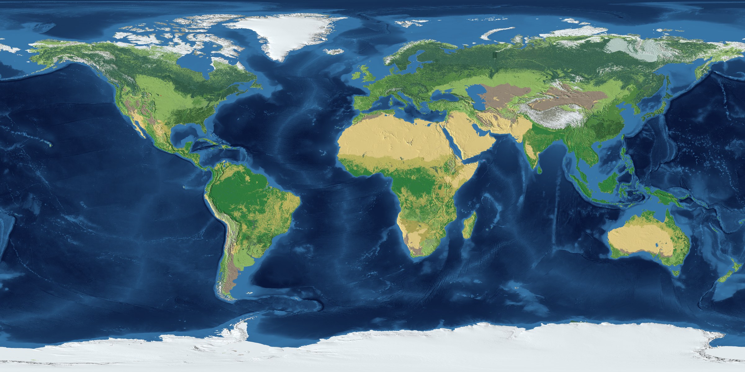
Coastlines, mountain ranges, river valleys and deserts sit where they do on Earth, at 1:200 scale. Dig down and the rock changes according to the geological survey.
All of it public data
Sources
Where the world comes from
The shape of the land, the rock beneath it and the names of places all come from public geographic and geological survey data. Coastlines, mountains, rivers and deserts are where they are because that is where they are on Earth, not because somebody drew them.
Measured off the built world
Elevation
Everest and the Mariana Trench
Horizontally a block is 204 m everywhere. Vertically it varies, because Everest to the floor of the Mariana Trench does not fit in the 384 blocks Minecraft gives you. Relief on land is honest and the shallows you can actually swim in are finer than honest. Only the abyss is compressed, and it is compressed because the alternative was not having trenches at all.
- 8,680 mEverest, 27.990°N 86.924°E. The real summit is 8,849 m.
- −10,921 mMariana Trench, 11.336°N 142.209°E. Challenger Deep is about −10,935 m.
What else is here
The record, the map and the store
Everything that happens on the server is written down as it happens, and the whole record is public. The map is rendered from the live world. The store sells cosmetics and nothing else.
Java Edition